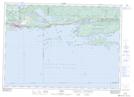
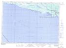
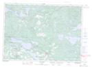
Maps showing Potomac River, Algoma, Ontario
Potomac River is a River located in Algoma, Ontario and has an elevation of 190 meters.
- Latitude: 46° 13' 21'' North (decimal: 46.2224999)
- Longitude: 82° 59' 19'' West (decimal: -82.9886111)
- Topography Feature Category: River
- Geographical Feature: River
- Canadian Province/Territory: Ontario
- Elevation: 190 meters
- Location: Algoma
- Atlas of Canada Locator Map: Potomac River
- GPS Coordinate Locator Map: Potomac River Lat/Long
Potomac River NTS Map Sheets