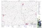
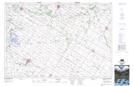
Maps showing Broadfoot Drain, Huron, Ontario
Broadfoot Drain is a Hydraulic construction located in Huron, Ontario and has an elevation of 305 meters.
- Latitude: 43° 32' 44'' North (decimal: 43.5455555)
- Longitude: 81° 28' 13'' West (decimal: -81.4702777)
- Topography Feature Category: Hydraulic construction
- Geographical Feature: Drain
- Canadian Province/Territory: Ontario
- Elevation: 305 meters
- Location: Huron
- Atlas of Canada Locator Map: Broadfoot Drain
- GPS Coordinate Locator Map: Broadfoot Drain Lat/Long
Broadfoot Drain NTS Map Sheets