Maps showing Mishamattawa River, Kenora, Ontario
Mishamattawa River is a River located in Kenora, Ontario.
- Latitude: 55° 10' 6'' North (decimal: 55.1683333)
- Longitude: 85° 18' 36'' West (decimal: -85.3100000)
- Topography Feature Category: River
- Geographical Feature: River
- Canadian Province/Territory: Ontario
- Location: Kenora
- Atlas of Canada Locator Map: Mishamattawa River
- GPS Coordinate Locator Map: Mishamattawa River Lat/Long
Mishamattawa River NTS Map Sheets
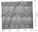
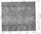
043K13 No Title Topographic Map at 1:50,000 scale
043L16 No Title Topographic Map at 1:50,000 scale
043M01 No Title Topographic Map at 1:50,000 scale
043M02 No Title Topographic Map at 1:50,000 scale
043N03 Peawanuck Topographic Map at 1:50,000 scale
043N04 No Title Topographic Map at 1:50,000 scale
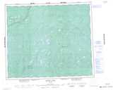
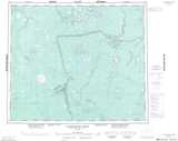
043K Sutton Lake Topographic Map at 1:250,000 scale
043L Clendenning River Topographic Map at 1:250,000 scale
043M Fort Severn Topographic Map at 1:250,000 scale
043N Winisk Topographic Map at 1:250,000 scale