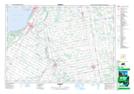
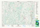
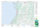
Maps showing Sauble River, Bruce, Ontario
Sauble River is a River located in Bruce, Ontario and has an elevation of 291 meters.
- Latitude: 44° 39' 42'' North (decimal: 44.6616666)
- Longitude: 81° 16' 45'' West (decimal: -81.2791666)
- Topography Feature Category: River
- Geographical Feature: River
- Canadian Province/Territory: Ontario
- Elevation: 291 meters
- Location: Bruce
- Atlas of Canada Locator Map: Sauble River
- GPS Coordinate Locator Map: Sauble River Lat/Long
Sauble River NTS Map Sheets