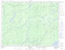
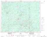
Maps showing Midcross Creek, Thunder Bay, Ontario
Midcross Creek is a River located in Thunder Bay, Ontario.
- Latitude: 50° 15' 54'' North (decimal: 50.2650000)
- Longitude: 87° 59' 34'' West (decimal: -87.9927777)
- Topography Feature Category: River
- Geographical Feature: Creek
- Canadian Province/Territory: Ontario
- Location: Thunder Bay
- Atlas of Canada Locator Map: Midcross Creek
- GPS Coordinate Locator Map: Midcross Creek Lat/Long
Midcross Creek NTS Map Sheets