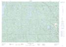
Maps showing St. Clair Junction, Elgin, Ontario
St. Clair Junction is a Unincorporated area located in Elgin, Ontario.
- Latitude: 42° 46' North (decimal: 42.7666999)
- Longitude: 81° 17' West (decimal: -81.2833000)
- Topography Feature Category: Unincorporated area
- Geographical Feature: Railway Point
- Canadian Province/Territory: Ontario
- Location: Elgin
- GPS Coordinate Locator Map: St. Clair Junction Lat/Long
St. Clair Junction NTS Map Sheets