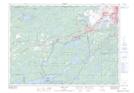
Maps showing St. John Island, Ontario
St. John Island is a Island located in Ontario.
- Latitude: 46° 27' 52'' North (decimal: 46.4644000)
- Longitude: 81° 24' 30'' West (decimal: -81.4083000)
- Topography Feature Category: Island
- Geographical Feature: Island
- Canadian Province/Territory: Ontario
- GPS Coordinate Locator Map: St. John Island Lat/Long
St. John Island NTS Map Sheets