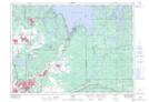
Maps showing Chaya Pond, Sudbury, Ontario
Chaya Pond is a Lake located in Sudbury, Ontario.
- Latitude: 46° 33' 38'' North (decimal: 46.5605555)
- Longitude: 80° 34' 26'' West (decimal: -80.5738888)
- Topography Feature Category: Lake
- Geographical Feature: Pond
- Canadian Province/Territory: Ontario
- Location: Sudbury
- Atlas of Canada Locator Map: Chaya Pond
- GPS Coordinate Locator Map: Chaya Pond Lat/Long