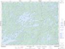
Maps showing Shaughnessy Bay, Ontario
Shaughnessy Bay is a Bay located in Ontario.
- Latitude: 49° 18' 27'' North (decimal: 49.3074999)
- Longitude: 92° 54' 50'' West (decimal: -92.9138999)
- Topography Feature Category: Bay
- Geographical Feature: Bay
- Canadian Province/Territory: Ontario
- GPS Coordinate Locator Map: Shaughnessy Bay Lat/Long
Shaughnessy Bay NTS Map Sheets