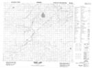
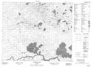
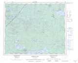
Maps showing Bourne River, Kenora, Ontario
Bourne River is a River located in Kenora, Ontario and has an elevation of 244 meters.
- Latitude: 53° 29' 00'' North (decimal: 53.4833333)
- Longitude: 94° 5' 17'' West (decimal: -94.0880555)
- Topography Feature Category: River
- Geographical Feature: River
- Canadian Province/Territory: Ontario
- Elevation: 244 meters
- Location: Kenora
- Atlas of Canada Locator Map: Bourne River
- GPS Coordinate Locator Map: Bourne River Lat/Long
Bourne River NTS Map Sheets