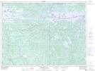
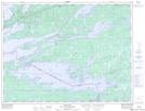
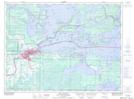
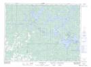
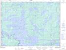
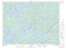
Maps showing Lac à la Pluie, Rainy River, Ontario
Lac à la Pluie is a Lake located in Rainy River, Ontario and has an elevation of 345 meters.
- Latitude: 48° 42' North (decimal: 48.6999999)
- Longitude: 93° 10' West (decimal: -93.1666999)
- Topography Feature Category: Lake
- Geographical Feature: Lac
- Canadian Province/Territory: Ontario
- Elevation: 345 meters
- Location: Rainy River
- Atlas of Canada Locator Map: Lac à la Pluie
- GPS Coordinate Locator Map: Lac à la Pluie Lat/Long
Lac à la Pluie NTS Map Sheets
052C07 Namakan Lake Topographic Map at 1:50,000 scale
052C10 Seine Bay Topographic Map at 1:50,000 scale
052C11 Fort Frances Topographic Map at 1:50,000 scale
052C13 Northwest Bay Topographic Map at 1:50,000 scale
052C14 Mainville Lake Topographic Map at 1:50,000 scale
052C15 Mine Centre Topographic Map at 1:50,000 scale
052C International Falls Topographic Map at 1:250,000 scale