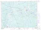
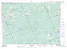
Maps showing Ferrie River, Parry Sound, Ontario
Ferrie River is a River located in Parry Sound, Ontario and has an elevation of 270 meters.
- Latitude: 45° 43' 23'' North (decimal: 45.7230555)
- Longitude: 79° 52' 55'' West (decimal: -79.8819444)
- Topography Feature Category: River
- Geographical Feature: River
- Canadian Province/Territory: Ontario
- Elevation: 270 meters
- Location: Parry Sound
- Atlas of Canada Locator Map: Ferrie River
- GPS Coordinate Locator Map: Ferrie River Lat/Long
Ferrie River NTS Map Sheets