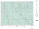
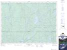
Maps showing Ellis, Sudbury, Ontario
Ellis is a Geographical area located in Sudbury, Ontario.
- Latitude: 47° 17' 5'' North (decimal: 47.2847222)
- Longitude: 80° 44' 6'' West (decimal: -80.7350000)
- Topography Feature Category: Geographical area
- Geographical Feature: Geographic Township
- Canadian Province/Territory: Ontario
- Location: Sudbury
- Atlas of Canada Locator Map: Ellis
- GPS Coordinate Locator Map: Ellis Lat/Long
Ellis NTS Map Sheets