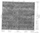
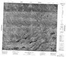
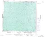
Maps showing Dog Creek, Kenora, Ontario
Dog Creek is a River located in Kenora, Ontario.
- Latitude: 55° 8' 24'' North (decimal: 55.1399999)
- Longitude: 88° 59' 12'' West (decimal: -88.9866666)
- Topography Feature Category: River
- Geographical Feature: Creek
- Canadian Province/Territory: Ontario
- Location: Kenora
- Atlas of Canada Locator Map: Dog Creek
- GPS Coordinate Locator Map: Dog Creek Lat/Long
Dog Creek NTS Map Sheets