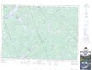
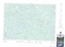
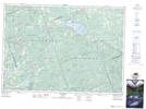
Maps showing Matawatchan, Renfrew, Ontario
Matawatchan is a Geographical area located in Renfrew, Ontario.
- Latitude: 45° 11' 9'' North (decimal: 45.1858333)
- Longitude: 77° 5' 00'' West (decimal: -77.0833333)
- Topography Feature Category: Geographical area
- Geographical Feature: Geographic Township
- Canadian Province/Territory: Ontario
- Location: Renfrew
- Atlas of Canada Locator Map: Matawatchan
- GPS Coordinate Locator Map: Matawatchan Lat/Long
Matawatchan NTS Map Sheets