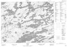
Maps showing Ranger's Point, Kenora, Ontario
Ranger's Point is a Cape located in Kenora, Ontario.
- Latitude: 50° 0' 34'' North (decimal: 50.0094444)
- Longitude: 92° 7' 58'' West (decimal: -92.1327777)
- Topography Feature Category: Cape
- Geographical Feature: Point
- Canadian Province/Territory: Ontario
- Location: Kenora
- Atlas of Canada Locator Map: Ranger's Point
- GPS Coordinate Locator Map: Ranger's Point Lat/Long