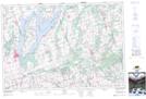
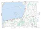
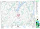
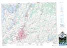
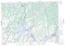
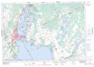
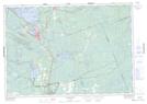
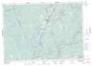
Maps showing Emily, Ontario
Emily is a Other municipal/district area - miscellaneous located in Ontario.
- Latitude: 44° 35' North (decimal: 44.5832999)
- Longitude: 78° 50' West (decimal: -78.8333000)
- Topography Feature Category: Other municipal/district area - miscellaneous
- Geographical Feature: Township Municipality
- Canadian Province/Territory: Ontario
- GPS Coordinate Locator Map: Emily Lat/Long
Emily NTS Map Sheets
031D02 Scugog Topographic Map at 1:50,000 scale
031D06 Beaverton Topographic Map at 1:50,000 scale
031D07 Lindsay Topographic Map at 1:50,000 scale
031D08 Peterborough Topographic Map at 1:50,000 scale
031D10 Fenelon Falls Topographic Map at 1:50,000 scale
031D11 Orillia Topographic Map at 1:50,000 scale
031D14 Gravenhurst Topographic Map at 1:50,000 scale
031D15 Minden Topographic Map at 1:50,000 scale
031D Lake Simcoe Topographic Map at 1:250,000 scale