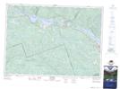
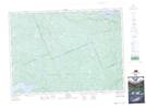
Maps showing Head, Clara and Maria, Renfrew, Ontario
Head, Clara and Maria is a Other municipal/district area - miscellaneous located in Renfrew, Ontario.
- Latitude: 46° 10' 2'' North (decimal: 46.1672222)
- Longitude: 78° 2' 16'' West (decimal: -78.0377777)
- Topography Feature Category: Other municipal/district area - miscellaneous
- Geographical Feature: Township Municipality
- Canadian Province/Territory: Ontario
- Location: Renfrew
- Atlas of Canada Locator Map: Head, Clara and Maria
- GPS Coordinate Locator Map: Head, Clara and Maria Lat/Long
Head, Clara and Maria NTS Map Sheets