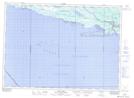
Maps showing Howland, Ontario
Howland is a Other municipal/district area - miscellaneous located in Ontario.
- Latitude: 45° 48' North (decimal: 45.8000000)
- Longitude: 82° 6' West (decimal: -82.0999999)
- Topography Feature Category: Other municipal/district area - miscellaneous
- Geographical Feature: Township Municipality
- Canadian Province/Territory: Ontario
- GPS Coordinate Locator Map: Howland Lat/Long
Howland NTS Map Sheets
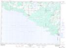
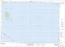
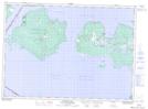
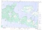
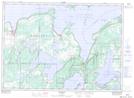
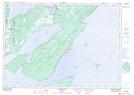
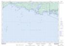
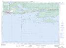
041G09 Providence Bay Topographic Map at 1:50,000 scale
041G10 Great Duck Island Topographic Map at 1:50,000 scale
041G14 Meldrum Bay Topographic Map at 1:50,000 scale
041G15 Silver Water Topographic Map at 1:50,000 scale
041G16 Kagawong Topographic Map at 1:50,000 scale
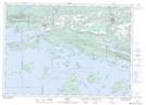
041H05 Flowerpot Island Topographic Map at 1:50,000 scale
041H12 Manitowaning Topographic Map at 1:50,000 scale
041H13 Little Current Topographic Map at 1:50,000 scale
041H14 Collins Inlet Topographic Map at 1:50,000 scale
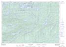
041I03 Lake Panache Topographic Map at 1:50,000 scale
041I04 Whitefish Falls Topographic Map at 1:50,000 scale
041J01 Spanish Topographic Map at 1:50,000 scale
041J02 Algoma Topographic Map at 1:50,000 scale
041J03 Dean Lake Topographic Map at 1:50,000 scale
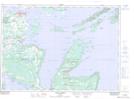
041G Alpena Topographic Map at 1:250,000 scale
041H Tobermory Topographic Map at 1:250,000 scale
041I Sudbury Topographic Map at 1:250,000 scale
041J Blind River Topographic Map at 1:250,000 scale