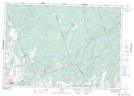
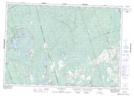
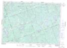
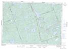
Maps showing Tudor and Cashel, Hastings, Ontario
Tudor and Cashel is a Other municipal/district area - miscellaneous located in Hastings, Ontario.
- Latitude: 44° 57' 13'' North (decimal: 44.9536111)
- Longitude: 77° 30' 00'' West (decimal: -77.4999999)
- Topography Feature Category: Other municipal/district area - miscellaneous
- Geographical Feature: Township Municipality
- Canadian Province/Territory: Ontario
- Location: Hastings
- Atlas of Canada Locator Map: Tudor and Cashel
- GPS Coordinate Locator Map: Tudor and Cashel Lat/Long
Tudor and Cashel NTS Map Sheets
031C11 Kaladar Topographic Map at 1:50,000 scale
031C12 Bannockburn Topographic Map at 1:50,000 scale
031C13 Coe Hill Topographic Map at 1:50,000 scale
031C14 Bon Echo Topographic Map at 1:50,000 scale
031F03 Denbigh Topographic Map at 1:50,000 scale
031F04 Bancroft Topographic Map at 1:50,000 scale
031C Kingston Topographic Map at 1:250,000 scale
031F Pembroke Topographic Map at 1:250,000 scale