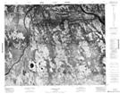
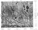
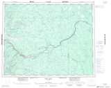
Maps showing Robins Island, Cochrane, Ontario
Robins Island is a Island located in Cochrane, Ontario.
- Latitude: 51° 44' 20'' North (decimal: 51.7388888)
- Longitude: 86° 8' 28'' West (decimal: -86.1411111)
- Topography Feature Category: Island
- Geographical Feature: Island
- Canadian Province/Territory: Ontario
- Location: Cochrane
- Atlas of Canada Locator Map: Robins Island
- GPS Coordinate Locator Map: Robins Island Lat/Long
Robins Island NTS Map Sheets