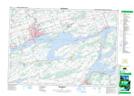
Maps showing Prince Edward, Prince Edward, Ontario
Prince Edward is a City located in Prince Edward, Ontario.
- Latitude: 44° 1' 23'' North (decimal: 44.0230555)
- Longitude: 77° 15' 21'' West (decimal: -77.2558333)
- Topography Feature Category: City
- Geographical Feature: City
- Canadian Province/Territory: Ontario
- Location: Prince Edward
- Atlas of Canada Locator Map: Prince Edward
- GPS Coordinate Locator Map: Prince Edward Lat/Long
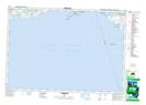
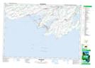
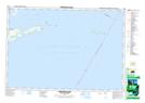
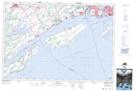
Prince Edward NTS Map Sheets
030N13 Consecon Topographic Map at 1:50,000 scale
030N14 Wellington Topographic Map at 1:50,000 scale
030N15 Yorkshire Island Topographic Map at 1:50,000 scale
031C02 Bath Topographic Map at 1:50,000 scale
031C03 Belleville Topographic Map at 1:50,000 scale
031C04 Trenton Topographic Map at 1:50,000 scale
030N Rochester Topographic Map at 1:250,000 scale
031C Kingston Topographic Map at 1:250,000 scale