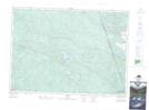
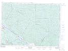
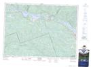
Maps showing Champ de tir et champ de manoeuvre Petawawa, Renfrew, Ontario
Champ de tir et champ de manoeuvre Petawawa is a Military area located in Renfrew, Ontario and has an elevation of 183 meters.
- Latitude: 45° 54' 50'' North (decimal: 45.9139000)
- Longitude: 77° 25' 8'' West (decimal: -77.4188999)
- Topography Feature Category: Military area
- Geographical Feature: C.M.F.C.
- Canadian Province/Territory: Ontario
- Elevation: 183 meters
- Location: Renfrew
- Atlas of Canada Locator Map: Champ de tir et champ de manoeuvre Petawawa
- GPS Coordinate Locator Map: Champ de tir et champ de manoeuvre Petawawa Lat/Long
Champ de tir et champ de manoeuvre Petawawa NTS Map Sheets