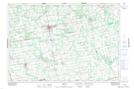
Maps showing Norman Reeves Creek, Grey, Ontario
Norman Reeves Creek is a River located in Grey, Ontario.
- Latitude: 44° 3' 47'' North (decimal: 44.0630555)
- Longitude: 80° 47' 28'' West (decimal: -80.7911111)
- Topography Feature Category: River
- Geographical Feature: Creek
- Canadian Province/Territory: Ontario
- Location: Grey
- Atlas of Canada Locator Map: Norman Reeves Creek
- GPS Coordinate Locator Map: Norman Reeves Creek Lat/Long