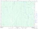
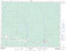
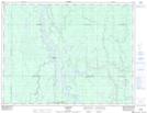
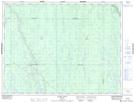
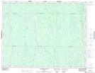
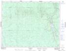
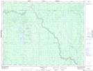
Maps showing Rivière Redsucker, Cochrane, Ontario
Rivière Redsucker is a River located in Cochrane, Ontario.
- Latitude: 49° 45' North (decimal: 49.7500000)
- Longitude: 81° 30' West (decimal: -81.5000000)
- Topography Feature Category: River
- Geographical Feature: Rivière
- Canadian Province/Territory: Ontario
- Location: Cochrane
- Atlas of Canada Locator Map: Rivière Redsucker
- GPS Coordinate Locator Map: Rivière Redsucker Lat/Long
Rivière Redsucker NTS Map Sheets
042H04 Bradburn Lake Topographic Map at 1:50,000 scale
042H05 Smooth Rock Falls Topographic Map at 1:50,000 scale
042H06 Gardiner Topographic Map at 1:50,000 scale
042H11 Island Falls Topographic Map at 1:50,000 scale
042H12 Abimatinu River Topographic Map at 1:50,000 scale
042H13 Fraserdale Topographic Map at 1:50,000 scale
042H14 Takwata Lake Topographic Map at 1:50,000 scale
042H Cochrane Topographic Map at 1:250,000 scale