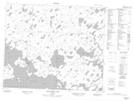
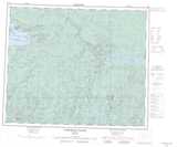
Maps showing Kitchenuhmaykoosib Aaki 84, Ontario
Kitchenuhmaykoosib Aaki 84 is a Indian Reserve located in Ontario.
- Latitude: 53° 49' 25'' North (decimal: 53.82372)
- Longitude: 89° 56' 8'' West (decimal: -89.9354598)
- Topography Feature Category: Indian Reserve
- Geographical Feature: Indian Reserve
- Canadian Province/Territory: Ontario
- Atlas of Canada Locator Map: Kitchenuhmaykoosib Aaki 84
- GPS Coordinate Locator Map: Kitchenuhmaykoosib Aaki 84 Lat/Long
Kitchenuhmaykoosib Aaki 84 NTS Map Sheets