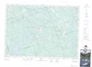
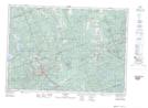
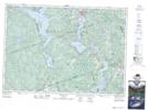
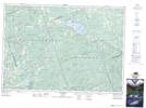
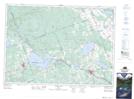
Maps showing Brudenell, Lyndoch and Raglan, Renfrew, Ontario
Brudenell, Lyndoch and Raglan is a Other municipal/district area - miscellaneous located in Renfrew, Ontario.
- Latitude: 45° 19' 52'' North (decimal: 45.3311111)
- Longitude: 77° 25' 8'' West (decimal: -77.4188888)
- Topography Feature Category: Other municipal/district area - miscellaneous
- Geographical Feature: Township Municipality
- Canadian Province/Territory: Ontario
- Location: Renfrew
- Atlas of Canada Locator Map: Brudenell, Lyndoch and Raglan
- GPS Coordinate Locator Map: Brudenell, Lyndoch and Raglan Lat/Long
Brudenell, Lyndoch and Raglan NTS Map Sheets