Maps showing North Kawartha, Peterborough, Ontario
North Kawartha is a Other municipal/district area - miscellaneous located in Peterborough, Ontario.
- Latitude: 44° 45' 47'' North (decimal: 44.7630555)
- Longitude: 78° 8' 54'' West (decimal: -78.1483333)
- Topography Feature Category: Other municipal/district area - miscellaneous
- Geographical Feature: Township Municipality
- Canadian Province/Territory: Ontario
- Location: Peterborough
- Atlas of Canada Locator Map: North Kawartha
- GPS Coordinate Locator Map: North Kawartha Lat/Long
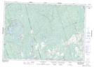
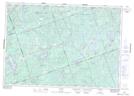
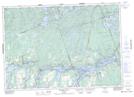
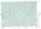
North Kawartha NTS Map Sheets