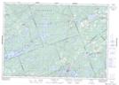
Maps showing Hepner Point, Palmerston, Ontario
Hepner Point is a Cape located in Palmerston, Ontario.
- Latitude: 44° 57' 5'' North (decimal: 44.9513559)
- Longitude: 76° 48' 10'' West (decimal: -76.8026859)
- Topography Feature Category: Cape
- Geographical Feature: Point
- Canadian Province/Territory: Ontario
- Location: Palmerston
- Atlas of Canada Locator Map: Hepner Point
- GPS Coordinate Locator Map: Hepner Point Lat/Long
Hepner Point NTS Map Sheets