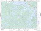
Maps showing Bennett Lake, AUBREY, Ontario
Bennett Lake is a Lake located in AUBREY, Ontario.
- Latitude: 49° 44' 16'' North (decimal: 49.7379049)
- Longitude: 92° 58' 45'' West (decimal: -92.9790760)
- Topography Feature Category: Lake
- Geographical Feature: Lake
- Canadian Province/Territory: Ontario
- Location: AUBREY
- Atlas of Canada Locator Map: Bennett Lake
- GPS Coordinate Locator Map: Bennett Lake Lat/Long