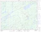
Maps showing Upper Loponen Lake, Ontario
Upper Loponen Lake is a Lake located in Ontario.
- Latitude: 49° 42' 13'' North (decimal: 49.7035080)
- Longitude: 86° 20' 32'' West (decimal: -86.3422160)
- Topography Feature Category: Lake
- Geographical Feature: Lake
- Canadian Province/Territory: Ontario
- Atlas of Canada Locator Map: Upper Loponen Lake
- GPS Coordinate Locator Map: Upper Loponen Lake Lat/Long
Upper Loponen Lake NTS Map Sheets