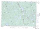
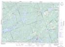
Maps showing Boundary Creek, Frontenac, Ontario
Boundary Creek is a River located in Frontenac, Ontario and has an elevation of 277 meters.
- Latitude: 44° 48' 4'' North (decimal: 44.8011111)
- Longitude: 76° 59' 52'' West (decimal: -76.9977777)
- Topography Feature Category: River
- Geographical Feature: Creek
- Canadian Province/Territory: Ontario
- Elevation: 277 meters
- Location: Frontenac
- Atlas of Canada Locator Map: Boundary Creek
- GPS Coordinate Locator Map: Boundary Creek Lat/Long
Boundary Creek NTS Map Sheets