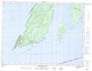
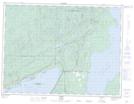
Maps showing Sleeping Giant Provincial Park, Thunder Bay, Ontario
Sleeping Giant Provincial Park is a Conservation area located in Thunder Bay, Ontario.
- Latitude: 48° 26' 00'' North (decimal: 48.4333333)
- Longitude: 88° 45' 55'' West (decimal: -88.7652777)
- Topography Feature Category: Conservation area
- Geographical Feature: Provincial Park
- Canadian Province/Territory: Ontario
- Location: Thunder Bay
- Atlas of Canada Locator Map: Sleeping Giant Provincial Park
- GPS Coordinate Locator Map: Sleeping Giant Provincial Park Lat/Long
Sleeping Giant Provincial Park NTS Map Sheets