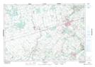
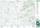
Maps showing East Luther Grand Valley, Dufferin, Ontario
East Luther Grand Valley is a Other municipal/district area - miscellaneous located in Dufferin, Ontario.
- Latitude: 43° 57' 17'' North (decimal: 43.9547222)
- Longitude: 80° 21' 52'' West (decimal: -80.3644444)
- Topography Feature Category: Other municipal/district area - miscellaneous
- Geographical Feature: Township Municipality
- Canadian Province/Territory: Ontario
- Location: Dufferin
- Atlas of Canada Locator Map: East Luther Grand Valley
- GPS Coordinate Locator Map: East Luther Grand Valley Lat/Long
East Luther Grand Valley NTS Map Sheets