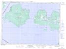
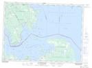
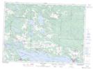
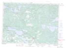
Maps showing Huron Shores, Algoma, Ontario
Huron Shores is a Other municipal/district area - miscellaneous located in Algoma, Ontario.
- Latitude: 46° 17' 7'' North (decimal: 46.2852777)
- Longitude: 83° 22' 9'' West (decimal: -83.3691666)
- Topography Feature Category: Other municipal/district area - miscellaneous
- Geographical Feature: Township Municipality
- Canadian Province/Territory: Ontario
- Location: Algoma
- Atlas of Canada Locator Map: Huron Shores
- GPS Coordinate Locator Map: Huron Shores Lat/Long
Huron Shores NTS Map Sheets
041G14 Meldrum Bay Topographic Map at 1:50,000 scale
041J03 Dean Lake Topographic Map at 1:50,000 scale
041J04 St Joseph Island Topographic Map at 1:50,000 scale
041J05 Bruce Mines Topographic Map at 1:50,000 scale
041J06 Iron Bridge Topographic Map at 1:50,000 scale
041G Alpena Topographic Map at 1:250,000 scale
041J Blind River Topographic Map at 1:250,000 scale