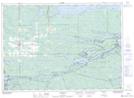
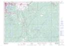
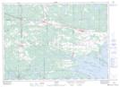
Maps showing St.-Charles, Sudbury, Ontario
St.-Charles is a Town located in Sudbury, Ontario.
- Latitude: 46° 21' 2'' North (decimal: 46.3505555)
- Longitude: 80° 28' 25'' West (decimal: -80.4736111)
- Topography Feature Category: Town
- Geographical Feature: Town
- Canadian Province/Territory: Ontario
- Location: Sudbury
- Atlas of Canada Locator Map: St.-Charles
- GPS Coordinate Locator Map: St.-Charles Lat/Long
St.-Charles NTS Map Sheets