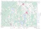
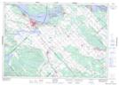
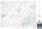
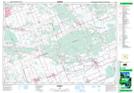
Maps showing National Capital Region, Carleton; Russell, Ontario
National Capital Region is a Geographical area located in Carleton; Russell, Ontario.
- Latitude: 45° 17' 20'' North (decimal: 45.2889000)
- Longitude: 75° 48' 36'' West (decimal: -75.8099999)
- Topography Feature Category: Geographical area
- Geographical Feature: Region
- Canadian Province/Territory: Ontario
- Location: Carleton; Russell
- Atlas of Canada Locator Map: National Capital Region
- GPS Coordinate Locator Map: National Capital Region Lat/Long
National Capital Region NTS Map Sheets
031F01 Carleton Place Topographic Map at 1:50,000 scale
031F08 Arnprior Topographic Map at 1:50,000 scale
031F09 Quyon Topographic Map at 1:50,000 scale
031G03 Winchester Topographic Map at 1:50,000 scale
031G04 Kemptville Topographic Map at 1:50,000 scale
031G05 Ottawa Topographic Map at 1:50,000 scale
031G06 Russell Topographic Map at 1:50,000 scale
031G11 Thurso Topographic Map at 1:50,000 scale
031F Pembroke Topographic Map at 1:250,000 scale
031G Ottawa Topographic Map at 1:250,000 scale