Canada Topographic Maps

Keewaywin Topo Maps

Topography maps and Latitude/Longitude Location

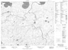
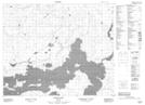
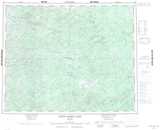
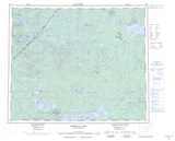
Maps showing Keewaywin, Ontario

Keewaywin is a Indian Reserve located in Ontario.

  • Latitude: 52° 59' 26'' North   (decimal: 52.9905555)
  • Longitude: 92° 47' 30'' West   (decimal: -92.7916666)
  • Topography Feature Category: Indian Reserve
  • Geographical Feature: Indian Reserve
  • Canadian Province/Territory: Ontario
  • Atlas of Canada Locator Map: Keewaywin
  • GPS Coordinate Locator Map: Keewaywin Lat/Long

Keewaywin NTS Map Sheets

053C15 Marugg Lake Topographic Map at 1:50,000 scale

053F02 Fidler Lake Topographic Map at 1:50,000 scale

053C North Spirit Lake Topographic Map at 1:250,000 scale

053F Opasquia Lake Topographic Map at 1:250,000 scale

 
Buy Topographic Maps DVD
Newsletter Sign-up

Yes, I want to receive map store discounts.


Bookmark and Share