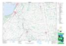
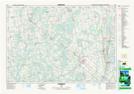
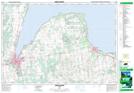
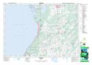
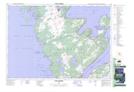
Maps showing Georgian Bluffs, Grey, Ontario
Georgian Bluffs is a Other municipal/district area - miscellaneous located in Grey, Ontario.
- Latitude: 44° 39' 28'' North (decimal: 44.6577777)
- Longitude: 81° 1' 36'' West (decimal: -81.0266666)
- Topography Feature Category: Other municipal/district area - miscellaneous
- Geographical Feature: Township Municipality
- Canadian Province/Territory: Ontario
- Location: Grey
- Atlas of Canada Locator Map: Georgian Bluffs
- GPS Coordinate Locator Map: Georgian Bluffs Lat/Long
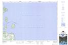
Georgian Bluffs NTS Map Sheets
041A06 Chesley Topographic Map at 1:50,000 scale
041A07 Markdale Topographic Map at 1:50,000 scale
041A10 Owen Sound Topographic Map at 1:50,000 scale
041A11 Wiarton Topographic Map at 1:50,000 scale
041A14 Cape Croker Topographic Map at 1:50,000 scale
041A15 White Cloud Island Topographic Map at 1:50,000 scale
041A Owen Sound Topographic Map at 1:250,000 scale