Canada Topographic Maps

Blind River Topo Maps

Topography maps and Latitude/Longitude Location

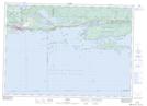
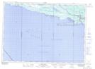
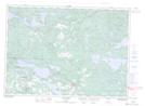
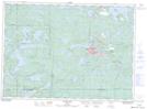
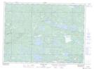
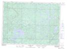
Maps showing Blind River, Algoma, Ontario

Blind River is a Town located in Algoma, Ontario.

  • Latitude: 46° 18' 8'' North   (decimal: 46.3022222)
  • Longitude: 82° 52' 41'' West   (decimal: -82.8780555)
  • Topography Feature Category: Town
  • Geographical Feature: Town
  • Canadian Province/Territory: Ontario
  • Location: Algoma
  • Atlas of Canada Locator Map: Blind River
  • GPS Coordinate Locator Map: Blind River Lat/Long

Blind River NTS Map Sheets

041J02 Algoma Topographic Map at 1:50,000 scale

041J03 Dean Lake Topographic Map at 1:50,000 scale

041J06 Iron Bridge Topographic Map at 1:50,000 scale

041J07 Elliot Lake Topographic Map at 1:50,000 scale

041J10 Rawhide Lake Topographic Map at 1:50,000 scale

041J11 Wakomata Lake Topographic Map at 1:50,000 scale

041J Blind River Topographic Map at 1:250,000 scale

 
Buy Topographic Maps DVD
Newsletter Sign-up

Yes, I want to receive map store discounts.


Bookmark and Share