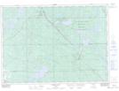
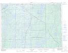
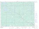
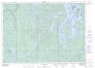
Maps showing Temagami River Provincial Park, Nipissing, Ontario
Temagami River Provincial Park is a Conservation area located in Nipissing, Ontario.
- Latitude: 46° 41' 45'' North (decimal: 46.6958328)
- Longitude: 79° 59' 00'' West (decimal: -79.9833328)
- Topography Feature Category: Conservation area
- Geographical Feature: Provincial Park
- Canadian Province/Territory: Ontario
- Location: Nipissing
- Atlas of Canada Locator Map: Temagami River Provincial Park
- GPS Coordinate Locator Map: Temagami River Provincial Park Lat/Long
Temagami River Provincial Park NTS Map Sheets