Maps showing Sable Islands Nature Reserve, Ontario
Sable Islands Nature Reserve is a Conservation area located in Ontario.
- Latitude: 48° 54' 54'' North (decimal: 48.91491)
- Longitude: 94° 38' 23'' West (decimal: -94.63967)
- Topography Feature Category: Conservation area
- Geographical Feature: Provincial Nature Reserve
- Canadian Province/Territory: Ontario
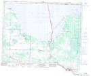
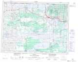
- Atlas of Canada Locator Map: Sable Islands Nature Reserve
- GPS Coordinate Locator Map: Sable Islands Nature Reserve Lat/Long