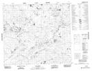
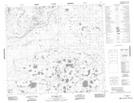
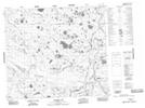
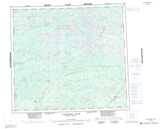
Maps showing Apasapewwache Hill, Manitoba
Apasapewwache Hill is a Mountain located in Manitoba and has an elevation of 121 meters.
- Latitude: 56° 22' 48'' North (decimal: 56.3799999)
- Longitude: 90° 44' 40'' West (decimal: -90.7443999)
- Topography Feature Category: Mountain
- Geographical Feature: Hill
- Canadian Province/Territory: Manitoba
- Elevation: 121 meters
- Atlas of Canada Locator Map: Apasapewwache Hill
- GPS Coordinate Locator Map: Apasapewwache Hill Lat/Long
Apasapewwache Hill NTS Map Sheets