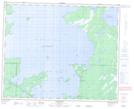
Maps showing Archie Island, Manitoba
Archie Island is a Island located in Manitoba.
- Latitude: 52° 47' 51'' North (decimal: 52.7975000)
- Longitude: 100° 45' 4'' West (decimal: -100.7511000)
- Topography Feature Category: Island
- Geographical Feature: Island
- Canadian Province/Territory: Manitoba
- GPS Coordinate Locator Map: Archie Island Lat/Long
Archie Island NTS Map Sheets