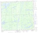
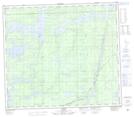
Maps showing Armstrong River, 78-6-E, Manitoba
Armstrong River is a River located in 78-6-E, Manitoba and has an elevation of 191 meters.
- Latitude: 55° 46' 8'' North (decimal: 55.7688999)
- Longitude: 96° 38' 26'' West (decimal: -96.6406000)
- Topography Feature Category: River
- Geographical Feature: River
- Canadian Province/Territory: Manitoba
- Elevation: 191 meters
- Location: 78-6-E
- Atlas of Canada Locator Map: Armstrong River
- GPS Coordinate Locator Map: Armstrong River Lat/Long
Armstrong River NTS Map Sheets