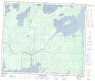
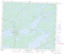
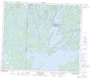
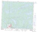
Maps showing Athapapuskow Lake, Manitoba
Athapapuskow Lake is a Lake located in Manitoba and has an elevation of 285 meters.
- Latitude: 54° 33' North (decimal: 54.5499999)
- Longitude: 101° 40' West (decimal: -101.6667000)
- Topography Feature Category: Lake
- Geographical Feature: Lake
- Canadian Province/Territory: Manitoba
- Elevation: 285 meters
- Atlas of Canada Locator Map: Athapapuskow Lake
- GPS Coordinate Locator Map: Athapapuskow Lake Lat/Long
Athapapuskow Lake NTS Map Sheets