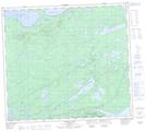
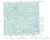
Maps showing Awaweyaykamak Creek, Manitoba
Awaweyaykamak Creek is a River located in Manitoba and has an elevation of 184 meters.
- Latitude: 56° 20' 5'' North (decimal: 56.3346999)
- Longitude: 96° 18' 41'' West (decimal: -96.3113999)
- Topography Feature Category: River
- Geographical Feature: Creek
- Canadian Province/Territory: Manitoba
- Elevation: 184 meters
- Atlas of Canada Locator Map: Awaweyaykamak Creek
- GPS Coordinate Locator Map: Awaweyaykamak Creek Lat/Long
Awaweyaykamak Creek NTS Map Sheets