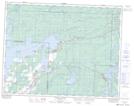
Maps showing Sweet Creek, Manitoba
Sweet Creek is a River located in Manitoba.
- Latitude: 50° 17' 48'' North (decimal: 50.2966999)
- Longitude: 95° 47' 8'' West (decimal: -95.7856000)
- Topography Feature Category: River
- Geographical Feature: Creek
- Canadian Province/Territory: Manitoba
- GPS Coordinate Locator Map: Sweet Creek Lat/Long
Sweet Creek NTS Map Sheets