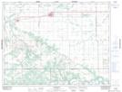
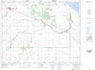
Maps showing Beaver Creek, 12,13-9-W, Manitoba
Beaver Creek is a River located in 12,13-9-W, Manitoba and has an elevation of 279 meters.
- Latitude: 50° 3' 47'' North (decimal: 50.0631000)
- Longitude: 98° 33' 39'' West (decimal: -98.5607999)
- Topography Feature Category: River
- Geographical Feature: Creek
- Canadian Province/Territory: Manitoba
- Elevation: 279 meters
- Location: 12,13-9-W
- Atlas of Canada Locator Map: Beaver Creek
- GPS Coordinate Locator Map: Beaver Creek Lat/Long
Beaver Creek NTS Map Sheets