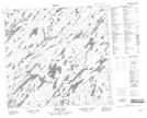
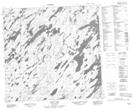
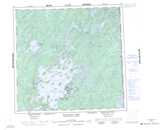
Maps showing Big Baldy Hill, Manitoba
Big Baldy Hill is a Mountain located in Manitoba and has an elevation of 418 meters.
- Latitude: 58° 29' 59'' North (decimal: 58.4997000)
- Longitude: 101° 59' 59'' West (decimal: -101.9997000)
- Topography Feature Category: Mountain
- Geographical Feature: Hill
- Canadian Province/Territory: Manitoba
- Elevation: 418 meters
- Atlas of Canada Locator Map: Big Baldy Hill
- GPS Coordinate Locator Map: Big Baldy Hill Lat/Long
Big Baldy Hill NTS Map Sheets